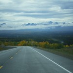
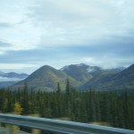
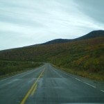
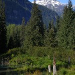
BC, Yukon, Alaska Road Trip – Photo Journal
(There are about 200 pictures in the gallery attached to this post)
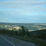
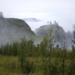
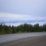
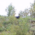
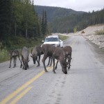
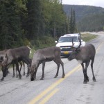
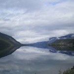
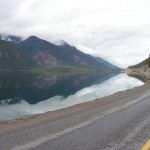
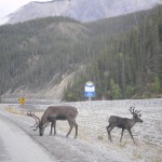
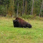
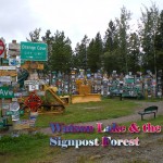
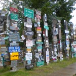
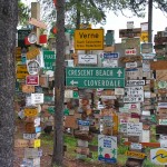
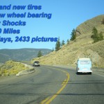
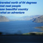
In the fall of 2007, my friend Terry and I took a two week road trip from the lower BC mainland north to Williams Lake, Prince George, Chetwynd and Dawson Creek in Eastern British Columbia, where we caught the Alaska Highway. Then north and west through Fort Nelson and into and through the Northern Rockies where we encountered caribou, bison and black bears, then to Watson Lake and the Signpost Forest and then Whitehorse, Yukon.
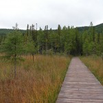
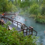
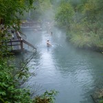
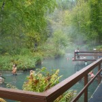
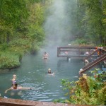
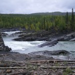
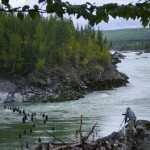
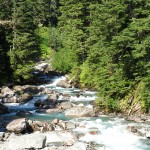
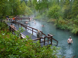 Along the way, we made a stop at Liard Hot Springs where we found a short hike along a boardwalk through the swampy woods to a small paradise, with changing rooms and all. Later in the day, we made a stop at a great river side and pulled out the grill to cook up some chops for lunch.
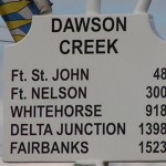
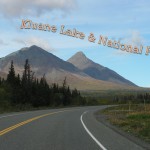
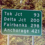
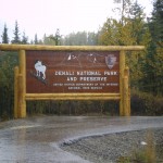
From there, we went west to Haines Junction, then through Kluane National Park Reserve and north to Alaska and stopped in Tok for food at the famous Fast Eddy’s. We then headed west and north to Delta Junction where the Alaska Highway ends; we felt quite the accomplishment having traveled the 1,398 miles since the beginning of the highway in Dawson Creek, BC. To Fairbanks and then south to Denali National Park where we spent a couple of days.
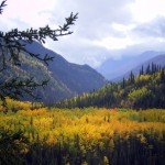
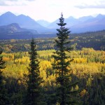
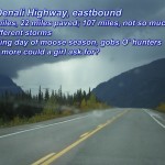
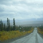
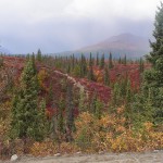
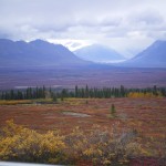
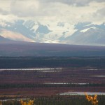
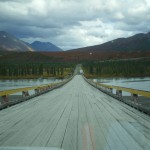
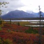
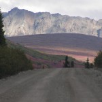
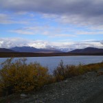
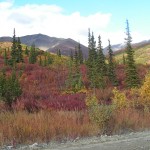
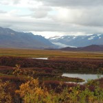
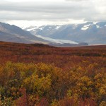
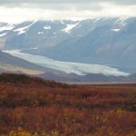
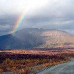
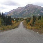
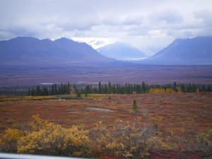 An adventurous and spectacular drive east across the Denali Highway (135 miles, 22 of which were paved) was next. It’s a brutal drive but well worth it if your car can take a beating. There are times when you truly feel on top of the world. At one point, I stood on the road and turned 360 degrees around and counted seven different storm systems in the distance. Different mountain ranges and glaciers in the distance leave you in awe of how big an expanse you can get in an eyeful.
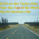
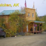
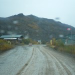
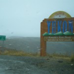
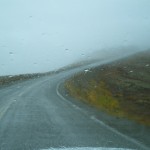
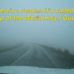
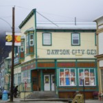
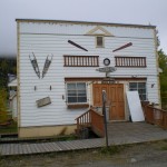
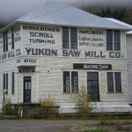
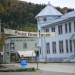
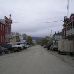
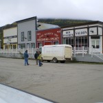
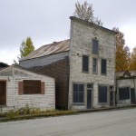
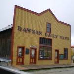
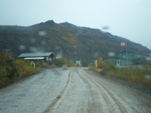 We headed north to Tok and from there, north on the Taylor Highway which turns into the Top of the World Highway. We made a stop in Chicken, AK and then on to a very remote border crossing back into Yukon and to the gold town of Dawson City. We started heading north on the Dempster Highway to the arctic circle but this unpaved road left me feeling very apprehensive. The road is full of shale and I couldn’t help but think my tires would never survive and although it would make for an awesome story later, the last thing I wanted was to be stranded in the arctic. That does sound pretty cool though. “Oh hey, this one time, when I was stranded in the arctic…” Anyway.
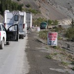
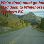
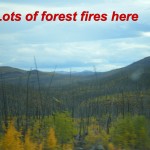
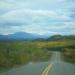
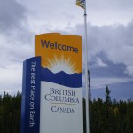
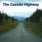
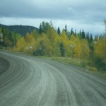
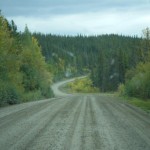
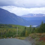
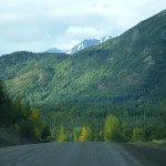
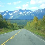
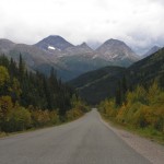
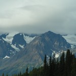
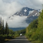
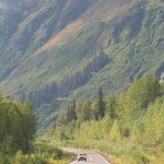
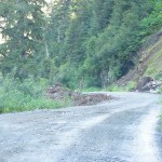
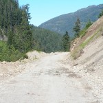
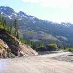
So, we turned around and started heading for home, back through Whitehorse and into BC again. But the adventure wasn’t over, we checked road conditions for an alternate route home, the Cassiar Highway and decided to take a chance. It turned out to be one of the most scenic roads yet. Most was paved but we encountered over a hundred miles or so of gravel road. Three or four places were washed out and work crews hastily constructed somewhat precarious detours while they worked on the main road.
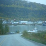
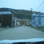
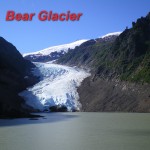
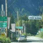
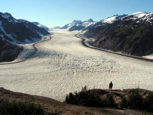 On a hunch, we took an exit for Stewart BC and saw Bear Glacier at the road side on the way and discovered a quaint little town. We drove through Stewart and right into Hyder Alaska, no border stop or anything. This is the only place you can drive into southeast Alaska. It’s less than 100 miles to Kethikan as the crow flies, but alas, you can’t drive to Ketchikan.
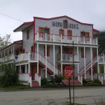
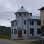
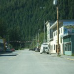
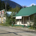
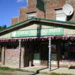
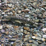
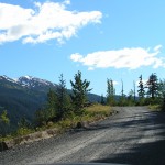
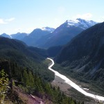
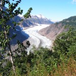
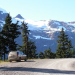
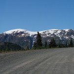
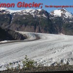
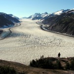
Hyder looked liked something out of the 19th century, they call it the friendliest ghost town in Alaska. Driving though Hyder and into the wilderness and up the mountains, we stopped at Fish Creek where salmon spawn and bears feed. Then on up the mountains, back into BC, no border stop again, and up to Salmon Glacier, the 5th largest in North America. It’s only 26 miles from Hyder, but it took almost three hours to get there. What a spectacular site though. Stewart and Hyder actually turned out to be the highlight of the trip. Who knew?
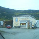
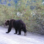
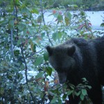
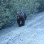
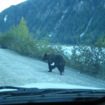
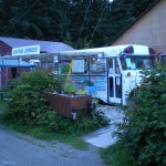
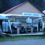
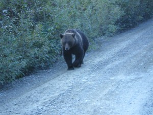 After a stop for seafood lunch in a school bus and being chased by a grizzly, we decided to drop our visit to Prince Rupert and we drove the final leg home, stopping for the night in Williams Lake, BC, back through Prince George and south to Chilliwack; back in the world. An awesome trip it was.
Some of the below pictures were taken by Terry, not sure which ones though.
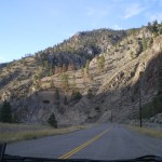
- Heading north near Kamloops
- North of Kamloops
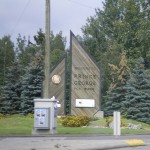
- Entering Prince George
- Heading north
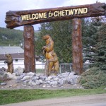
- Chetwynd
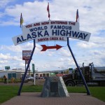
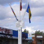
- The beginning of the Alska Highway in Dawson Creek, BC
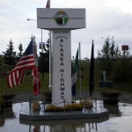
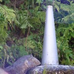
- Alaska Highway marker
- Eastern BC
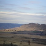
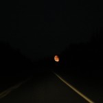
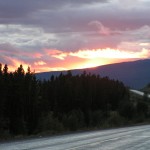
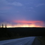
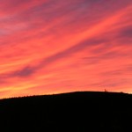
- On the way to Fort Nelson, eeiry moon low in the sky
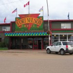
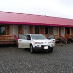
- Stayed at this place in Fort Nelson
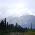
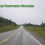
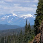
- Northern Rockies
- Northern Rockies
- Black Bear in the Northern Rockies
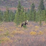
- Caribou in the Northern Rockies
- Caribou in the Northern Rockies
- The Northern Rockies
- The Northern Rockies
- The Northern Rockies
- The Northern Rockies
- The Northern Rockies
- Elk in the Northern Rockies
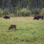
- Bison on the side of the road in the Northern Rockies
- Bison on the side of the road in the Northern Rockies
- A short hike to Liard Hot Springs
- Liard Hot Springs
- Liard Hot Springs
- Liard Hot Springs
- Liard Hot Springs
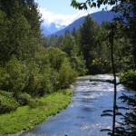
- Had lunch by this river
- Had lunch by this river
- Signpost Forest in Watson Lake, Yukon
- Signpost Forest in Watson Lake, Yukon
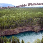
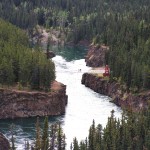
- Yukon River, Whithorse, Yukon
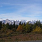
- Between Whithorse and Haines Junction
- Approaching Haines Junction
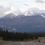
- Between Haines Junction and Kluane National Park
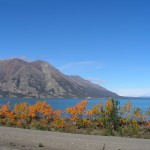
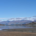
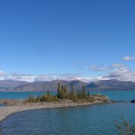
- A really big lake near Kluane National Park and Reserve
- A really big lake near Kluane National Park and Reserve
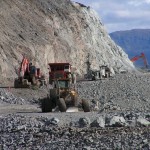
- Workin’ on the road. Blasting.
- Workin’ on the road. Blasting.
- A really big lake near Kluane National Park and Reserve
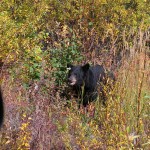
- Black Bear on the roadside in the Yukon
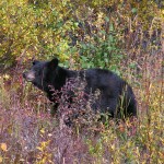
- Black Bear on the roadside in the Yukon
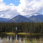
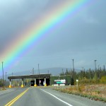
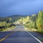
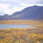
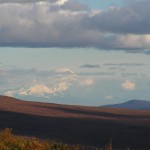
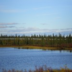
- The Yukon
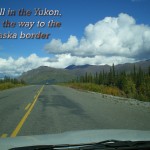
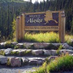
- In the Yukon, approaching the border to Alaska
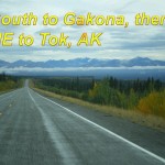
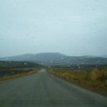
- The road from the border to Tok, AK
- Delta Junction, the end of the Alaska Highway
- Alaska Pipeline
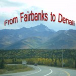
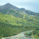
- Road from Fairbanks to Denali National Park
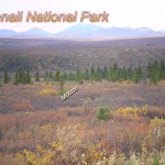
- Denali National Park
- Denali National Park
- Mt. McKinley
- Denali National Park
- Denali National Park
- Denali National Park
- Denali National Park
- On the Denali Highway
- On the Denali Highway
- On the Denali Highway
- On the Denali Highway
- On the Denali Highway
- On the Denali Highway
- On the Denali Highway
- On the Denali Highway
- On the Denali Highway
- On the Denali Highway
- Denali Highway
- On the Denali Highway
- The end of the Denali Highway
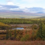
- Unknown mountain from the Denali Highway
- Alaska Pipeline
- Meiers Lake Roadhouse
- Meiers Lake Roadhouse
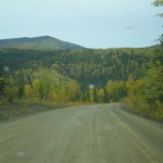
- Top of the World Highway
- Top of the World Highway
- Top of the World Highway
- Chicken, Alaska
- Top of the World Highway
- Top of the World Highway
- Remote border crossing on Top of the World Highway
- Entering Yukon on the Top of the World Highway
- Top of the World Highway
- Top of the World Highway
- Approaching Dawson City, Yukon
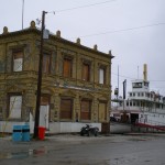
- The ferry across the river to Dawson City, Yukon
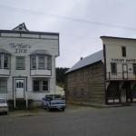
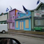
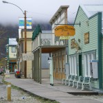
- Dawson City, Yukon
- Dawson City, Yukon
- Dawson City, Yukon
- Dawson City, Yukon
- Dawson City, Yukon
- Dawson City, Yukon
- Dawson City, Yukon
- Dawson City, Yukon
- Dawson City, Yukon
- Dawson City, Yukon
- Dawson City, Yukon
- Dawson City, Yukon
- Dawson City, Yukon
- Dawson City, Yukon
- Dawson City, Yukon
- Dawson City, Yukon
- Dawson City, Yukon
- Dawson City, Yukon
- Dawson City, Yukon
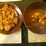
- In a gold store in Dawson City
- Heading south out of the Yukon
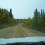
- The Cassiar Highway
- The Cassiar Highway
- The Cassiar Highway
- The Cassiar Highway
- The Cassiar Highway
- The Cassiar Highway
- The Cassiar Highway
- Bear Glacier near Stewart, BC
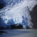
- Bear Glacier, near Stewart, BC
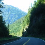
- The road to Stewart, BC
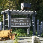
- Entering Stewart, BC
- Entering Hyder, AK
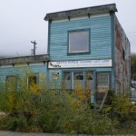
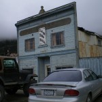
- Hyder, AK
- Hyder, AK
- Hyder, AK
- Fish Creek in Hyder, AK
- Fish Creek in Hyder, AK
- The Cassiar Highway, British Columbia
- The Cassiar Highway, British Columbia
- The Cassiar Highway, British Columbia
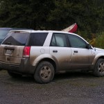
- My car is starting to show white again
- On the Cassiar Highway, British Columbia
- The Cassiar Highway, British Columbia
- The Cassiar Highway, British Columbia
- From the Cassiar Highway, Bristish Columbia
- Fish Creek
- The road to Salmon Glacier in BC
- The road to Salmon Glacier in BC
- The US Canada boundry marker near on the road to Salman Glacier; no border stop
- Off the road to Salmon Glacier in BC
- The Road to Salmon Glacier in BC
- The road to Salmon Glacier in BC
- Near Salmon Glacier in BC
- Salmon Glacier in BC
- The road to Salmon Glacier in BC
- The road to Salmon Glacier in BC
- Salmon Glacier in BC
- Salmon Glacier in BC
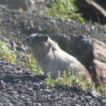
- Some sort of varment near Salmon Glacier in BC
- Grizzly Bear on the road to Fish Creek in Hyder, AK
- Grizzly on the road to Salmon Glacier, in Hyder, AK
- Grizzly on the road to Salmon Glacier, in Hyder, AK
- Grizzly on the road to Salmon Glacier, in Hyder, AK
- The Seafood Express in Hyder, AK
- The Seafood Express in Hyder, AK
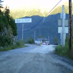
- Returning from Hyder, AK to Stewart, BC
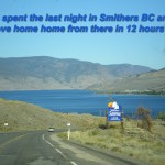
- On the final leg home
- On the final leg home
- On the final leg home


